
为什么OpenLayers-3加载太多的地图?
为什么OpenLayers-3加载太多的地图?
提问于 2015-01-21 21:29:06
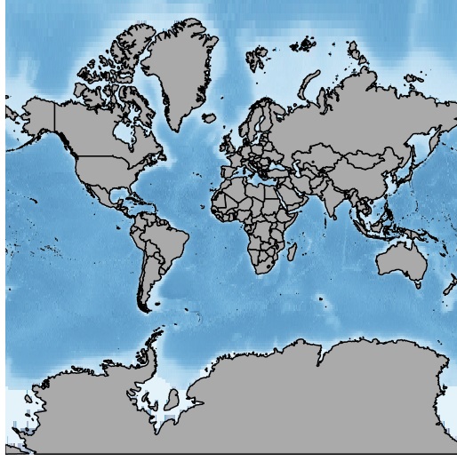
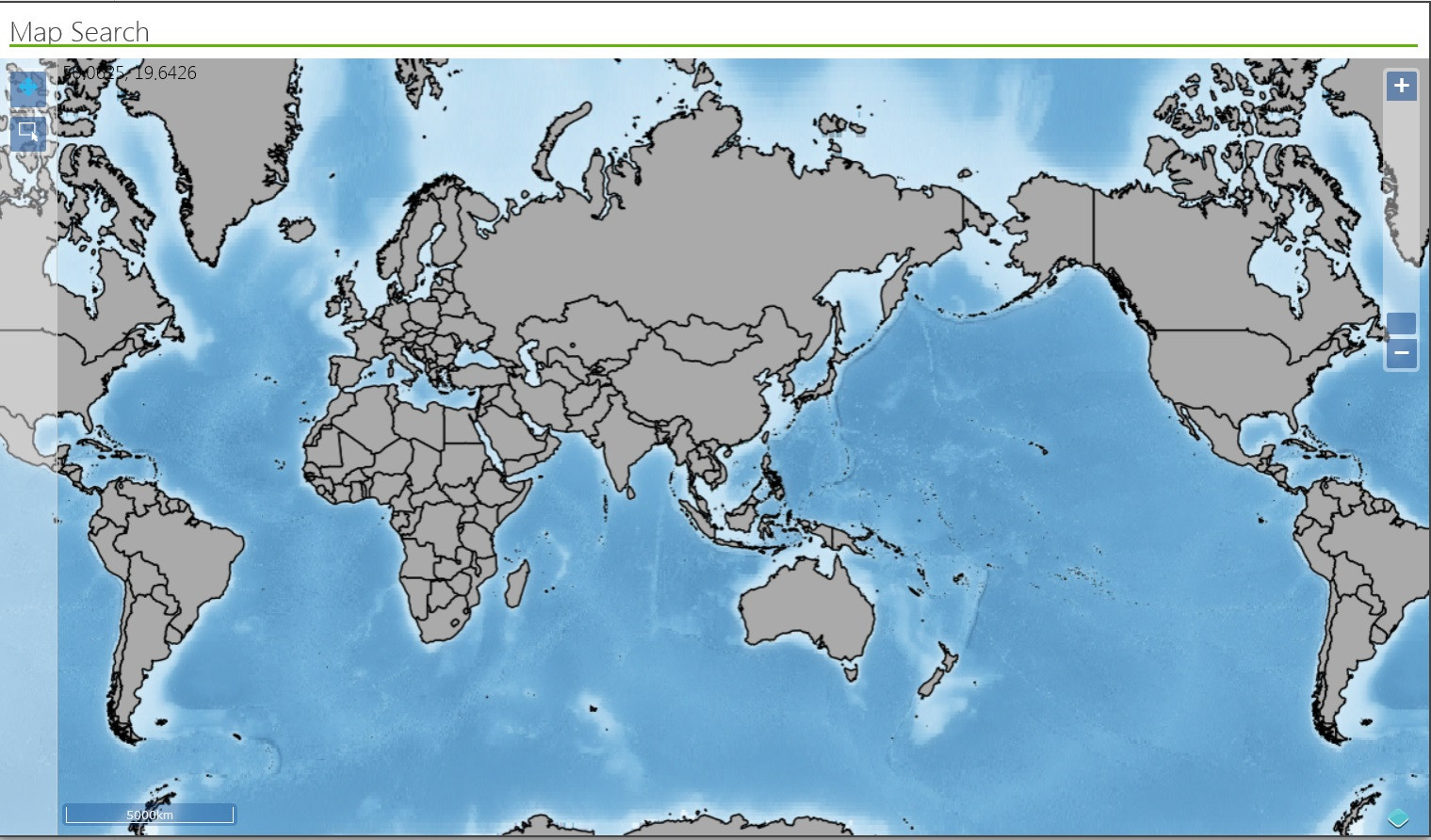
我正试图从我的geoserver在一个网页上加载地图,当它加载时,它几乎是自己的两倍。第一张地图是来自geoserver管理页面的预览,第二张是它在网页上拖放时是如何加载的。
回答 2
Stack Overflow用户
回答已采纳
发布于 2015-01-22 15:04:19
最后,我在层中添加了一些属性,这是我的代码:
mapInit: function() {
          var _this = this;

          this.map = new ol.Map({
            target: 'mapdiv', //element to render in
            interactions: ol.interaction.defaults({
                shiftDragZoom: false,
                altShiftDragRotate: false,
                dragPan: false
            }),
            controls: ol.control.defaults({
                attributionOptions: ({
                    collapsible: true
                })
            }).extend([ new ol.control.ScaleLine() ]),
            renderer: 'canvas',
            layers: [
                     new ol.layer.Tile({
                         source: new ol.source.TileWMS({
                             url: 'http://***.**.**.***:8080/geoserver/Global/wms',
                             params: {'LAYERS': 'Global Map', 'TILED': true},
                             noWrap: true, //<----added this
                             wrapX: false  //<----added this
                         }),
                         //constrain the extent of the servable tiles to only 1 world's coordinates.
                         extent: [-20037508.34, -20037508.34, 20037508.34, 20037508.34] //<----added this
                     })
],Stack Overflow用户
发布于 2015-01-22 06:13:41
Open层使用一个平铺系统,映射将在web浏览器中不断重复,以确保持续的覆盖和无缝的视图填充屏幕/div。将焦点集中在特定区域的最简单方法是使用缩放级别。
var map = new OpenLayers.Map("mapdiv");
map.setCenter(new OpenLayers.LonLat(yourLong, yourLat), zoomLevel);
上面的代码将以给定的缩放级别作为int值的特定区域为中心。还有其他方法可以在这里设置边界和缩放:
http://dev.openlayers.org/docs/files/OpenLayers/BaseTypes/Bounds-js.html
页面原文内容由Stack Overflow提供。腾讯云小微IT领域专用引擎提供翻译支持
原文链接:
https://stackoverflow.com/questions/28077183
复制相关文章
相似问题
腾讯云开发者

Copyright © 2013 - 2026 Tencent Cloud. All Rights Reserved. 腾讯云 版权所有
深圳市腾讯计算机系统有限公司 ICP备案/许可证号:粤B2-20090059 ![]() 粤公网安备44030502008569号
粤公网安备44030502008569号
腾讯云计算(北京)有限责任公司 京ICP证150476号 | 京ICP备11018762号